Project introduction

O Mahurangi - Penlink will be a new seven-kilometre highway between Whangaparāoa Road and State Highway 1. The highway will create a more resilient network and get people where they need to be faster, whether by vehicle, walking or on a bike.

  • Estimated project cost

    $830 million
  • Project type

    Road improvements, Walking and cycling

Project updates

O Mahurangi - Penlink March 2024
Newsletter,
O Mahurangi - Penlink February 2024
Newsletter,
O Mahurangi - Penlink December 2023
Newsletter,
O Mahurangi - Penlink November 2023
Newsletter,
O Mahurangi - Penlink October 2023
Newsletter,
O Mahurangi - Penlink September 2023
Newsletter,

Subscribe to updates

What does subscribing mean? Please read our Privacy statement


Key features

Graphic map of the O Mahurangi – Penlink route, starting at State Highway 1 and going across to Whangaparāoa through Stillwater and the Wēiti River.

View/download larger map [PNG, 644 KB]

  • 7 km highway between Whangaparāoa Road and SH1 at Redvale.
  • Shared path for people on foot and people on wheels between Whangaparāoa Road and East Coast Road.
  • Two lanes, and future-proofed to include bus shoulder lanes on each side.
  • 6 bridges (including one crossing the Wēiti River).
  • Tolled road.
  • Route details
    • O Mahurangi – Penlink will cross over East Coast Road and connect to SH1 with a new interchange, including south facing ramps.
    • The interchange will allow for future land development in the Wēiti area. This aligns with the Supporting Growth Programme.
    • The corridor will connect to Whangaparāoa Road at Beverley Road with a new signalised intersection. The corridor then crosses the Wēiti River on a new bridge.
    • The corridor is just north of Stillwater with a new connection for the community. The corridor then continues towards SH1 south by Ara Wēiti Road.
    • The corridor traverses both existing developed areas and greenfield areas.

    More information

    Close
  • Out of scope

    The following are not a part of the project:

    • Local road works beyond the existing design.
    • Major changes to the existing design.
    • Upgrades on the existing SH1 Northern Motorway beyond the south facing ramps.
    Close

History of the project

Why do we need O Mahurangi – Penlink?

  • Increase safety.
  • Improve network reliability.
  • Support growth (Silverdale and Milldale).
  • Improve network resilience for the Whangaparāoa Peninsula.
  • Create more sustainable transport options like biking or walking.
  • History and timeline of events

    The graphic is a visualisation of the same timeline text below.

    • 1980: Need for a ‘Wēiti Crossing,’ or a bridge across the Wēiti River connecting Stillwater to Whangaparāoa, identified.
    • Rodney District Council decided that a corridor from East Coast Road to Whangaparāoa Peninsula was the best option.
    • The idea for the corridor became known as ‘Penlink’ (shortened from Peninsula Link).
    • 2001: The designation, construction and operational resource consents were approved for a two-lane road.
    • 2010: Auckland Transport took on the project.
    • 2014: Application lodged to alter and re-consent designation as a four-lane road.
    • 2015: Decision issued in 2015.
    • 2019: Auckland Transport found a two-lane road provides greater value for money.
    • 2020: Government announced the project as a New Zealand Upgrade Programme initiative and NZ Transport Agency Waka Kotahi (NZTA) as the delivery agent.
    • 2021: Government confirmed funding for full delivery of project.
    • 2022: HEB, Fulton Hogan, Aurecon, Tonkin + Taylor, and NZTA formed the O Mahurangi Alliance to build the project. Mana Whenua gifted the name O Mahurangi to the project.
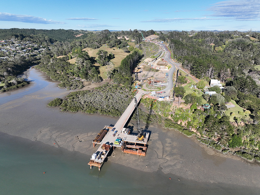
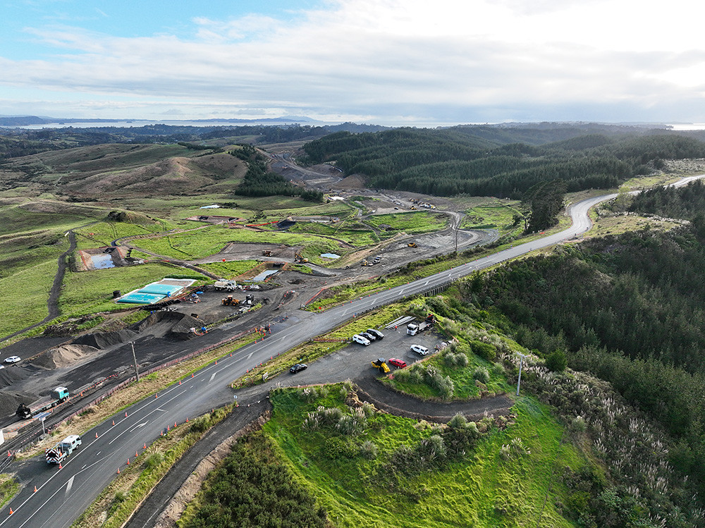
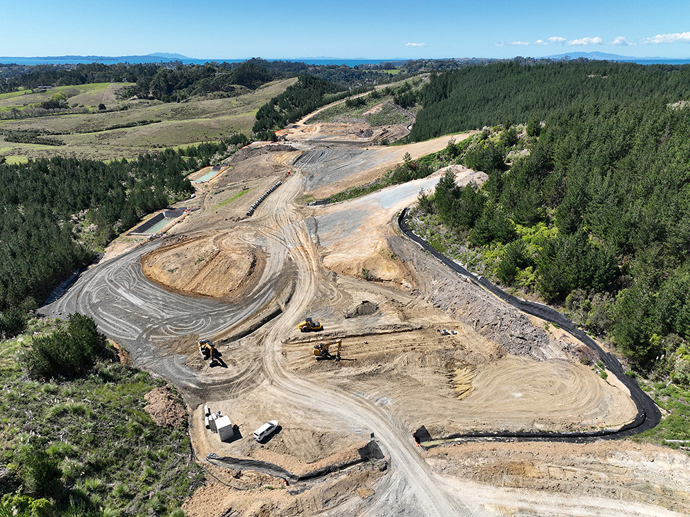
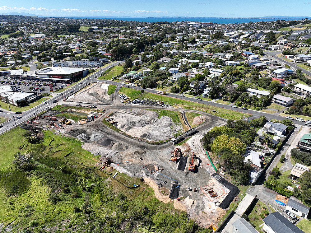
    • 2023: Construction underway.

    View the O Mahurangi – Penlink designation boundaries [PDF, 922 KB] 

    Resource consent conditions are a list of requirements for physical infrastructure projects. These include ecological mitigation plans, landscape plans, archaeological conditions and many others.

    Read the project’s resource consent conditions [PDF, 561 KB] 

    Close